
As leaders gather at this year’s World Economic Forum in Davos to debate global risk and resilience, one trend stands out: extreme weather now ranks as the most severe global threat over the next decade — and the 4th biggest threat in the short term.
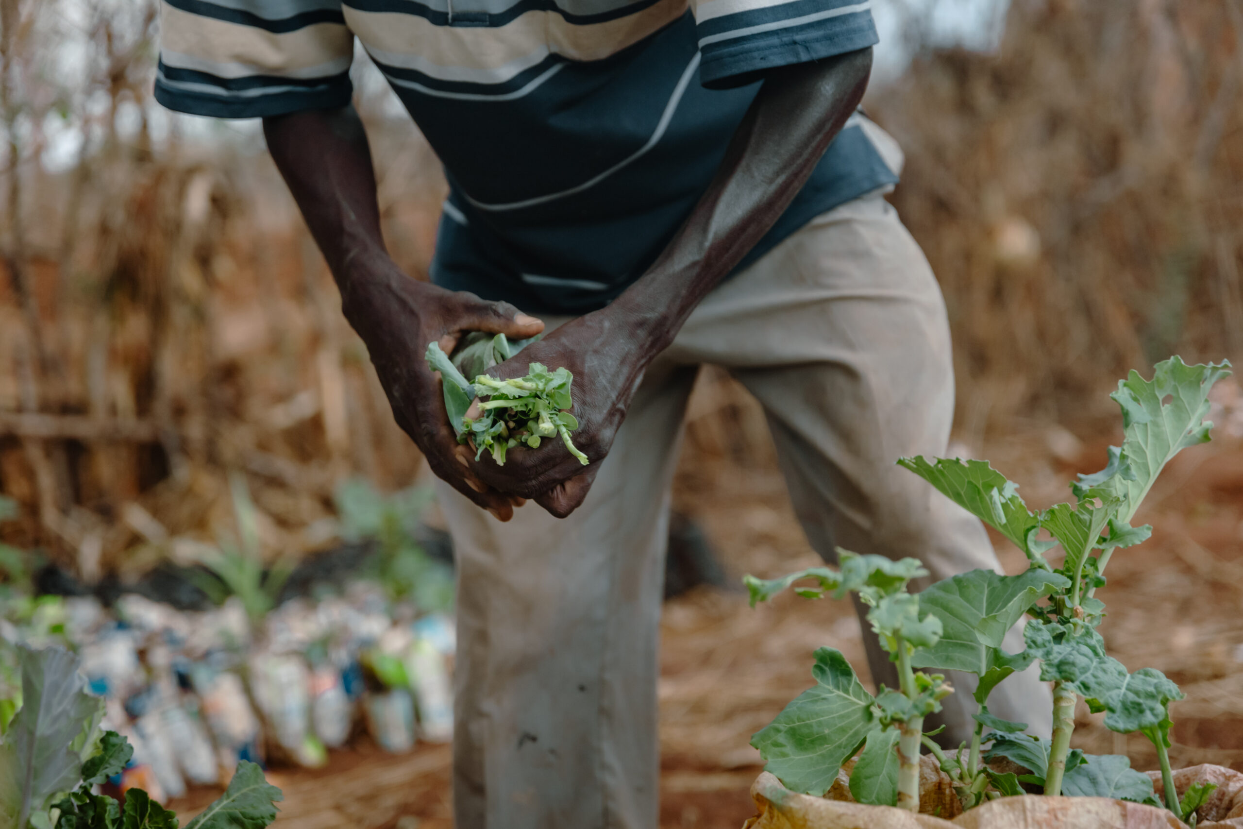
This is an urgent threat to food systems. For the 33 million smallholder farmers who help feed Africa, extreme weather is not a distant scenario — it is already reshaping planting windows, germination success, crop yields, and national food security outcomes.
The instinct to optimize forecasts
Across the climate science community and the rapidly growing climate-AI ecosystem, the recurring assumption has been that when climate outcomes fall short — whether that means crop losses, missed planting windows, or increasing disaster exposure — the solution lies in producing better forecasts.
Better often means higher-resolution models, more historical data, denser sensor networks, and more compute. From a technical perspective, this push has delivered meaningful progress: global models are more accurate at regional and national scales than ever before.
But there is a key difference between a forecast and the decisions they impact. When the design stops at the forecast layer, the burden of translation falls to the user, who must interpret what the information means for a specific field, a specific crop, and a specific week of the season.
This is where the gap emerges.
The decision-making gap
Despite significant technical advancements in forecasting, millions of African smallholder farmers who rely on rain-fed agriculture still struggle to access climate information in a form they can confidently act on.
Most forecasting systems are not built around how agricultural decisions are made. A forecast can be statistically robust across a wide geographic area and still be functionally irrelevant to a farmer deciding whether to plant this week on a specific plot of land.
In agriculture, timing is everything. The difference between planting one week earlier or later can determine whether seed germinates or fails, whether a season is profitable or lost. When information does not reduce uncertainty at the decision point, it does not empower — it undermines.
Localization is not a layer. It is the product.
At TomorrowNow, localization is not treated as an add-on to forecasting pipelines. It is the core of the system.
Localization involves more than downscaling. It requires:
correcting biases embedded in global models using historical and observed data
aligning climate signals with local agro-meteorological conditions, cropping calendars, and risk thresholds
continuously validating predictions against real-world outcomes in farmers’ fields, season after season
TomorrowNow’s Global Access Platform is designed to translate uncertainty into decision windows — moments when farmers can act with confidence rather than hope.
This is what differentiates TomorrowNow’s approach. We are not a pure forecasting service, nor a generic advisory platform. We are a systems builder, focused on turning agro-met intelligence into decision-ready guidance that holds up under real agricultural conditions at scale.
Evidence from the field
When localization is done well, the results are measurable.
In Kenya, TomorrowNow’s localized advisories now reach 5.3 million smallholder farmers, half of them women. In a pilot with One Acre Fund, farmers using these advisories saw average maize yield increases of 12% compared to previous seasons without tailored guidance.
Delivery costs averaged $0.56 per farmer, placing this among the most cost-effective yield-improving interventions One Acre Fund has measured.
But beyond the metrics, the impact is visible in daily decisions. In Makueni County, smallholder farmer Boniface Mutuko Chengo describes how localized guidance shifted his approach to cultivation and harvests:
“There has been a big difference between when we didn’t receive the messages and when we now do. For example, previously we would harvest two or at most three sacks from the half-acre farm. But now, we harvest more. We get ten or more sacks since we started using the messages.”
Boniface Mutuko Chengo, Makueni County, Kenya
For Boniface, agro-met intelligence advisories reduced guesswork, aligned planting and field preparation with rainfall patterns, and increased confidence in decision-making. Localized climate intelligence becomes actionable insight that directly improves outcomes.
Information becomes action. Action becomes resilience.
From one country to scale
Technology alone does not deliver climate resilience and adaptation. Systems do.
TomorrowNow works with governments, national meteorological agencies, and research institutions to embed localized climate intelligence into the systems farmers already trust.
In Kenya, models are integrated through the Kenya Agricultural and Livestock Research Organisation (KALRO) into national advisory services.
In Nigeria, TomorrowNow works with the Nigerian Meteorological Agency (NiMet) and mobile network operators to extend reach through existing infrastructure.
In Malawi and Zambia, national deployment frameworks are being co-developed with the Department of Climate Change and Meteorological Services (DCCMS) in Malawi and the Zambia Meteorological Department (ZMD) to ensure services endure beyond pilot phases.
This systems-embedded approach enables localization to scale responsibly and sustainably.
TomorrowNow’s long-term ambition is clear: to reach 100 million smallholder farmers with trusted, decision-ready agro-met intelligence. Not through one-off pilots or standalone tools, but by strengthening national and regional systems capable of sustaining impact over time.
If climate resilience and adaptation are to succeed, several assumptions need to be revisited.
Better does not always mean more complex.
Better does not always mean higher resolution.
Better means more relevant.